


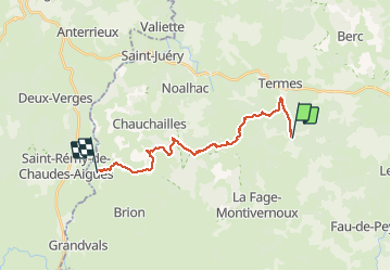

12,4 km | 16,3 km-effort


Utilisateur


Application GPS de randonnée GRATUITE
 SityTrail
IGN / Instituts géographiques
SityTrail World
Le monde est à vous
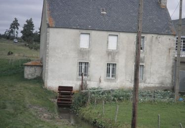
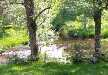
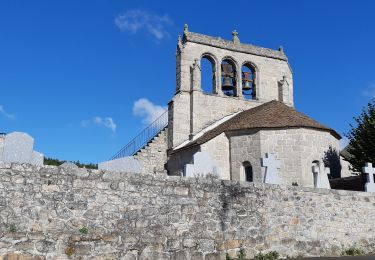
Randonnée Cheval de 18,2 km à découvrir à Occitanie, Lozère, La Fage-Saint-Julien. Cette randonnée est proposée par alfreson.
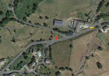
Manque dernier km
Marche
Marche
Marche
Marche
Marche
Marche
Marche

Marche